At the Carob Mill venue, a coalition of leading EU research and innovation projects will showcase a hands-on journey from ambitious strategy to on-the-ground impact. Visitors can step into a digital ecosystem that goes far beyond typical booth displays, offering exclusive access to the technologies, platforms, and community strategies actively protecting and restoring Europe’s seas.
This joint exhibition brings together members of the MPA Community Network including BLUE CONNECT, BLUE4ALL, PHAROS, BioProtect, EFFECTIVE, MSP4BIO, SkyTruth, and MPA Europe to showcase how innovation, collaboration, and inclusive governance are shaping the future of MPAs.
Through three interactive stations, visitors will be invited to experience the full cycle of marine protection: from big-picture strategy and policy (Station 1), to hands-on field technologies and monitoring tools (Station 2), and community engagement and funding solutions (Station 3).
Whether you are a policymaker, MPA manager, researcher, citizen scientist, practitioner, or simply passionate about protecting our blue planet, the booth offers an inspiring glimpse into how science, technology, and people are working together to turn the 30×30 vision into reality.
Station 1: Smart Planning & Data – The Blueprint
Map it, plan it, protect it with real data.
Effective ocean management does not begin in the field, it begins with data‑driven intelligence. Station 1 is all about the tools that transform raw environmental and socio‑economic data into actionable guidance for planners and decision‑makers. At this station, you will discover how advanced mapping, spatial planning frameworks, and policy guides are helping to design smarter, more connected systems of marine protected areas (MPAs).
Whether you are a EU policymaker looking for science‑based criteria to meet the 30×30 goal or a regional planner needing a user‑friendly way to assess MPAs across multiple sea basins, Station 1 has something for you:
MSP4BIO presents the Ecological Toolkit (ESE1), a step-by-step methodology for prioritizing MPAs and integrating climate-smart design into marine spatial planning (MSP), alongside the full ESE Framework, MPA‑MSP Guide, and an actionable Policy Brief. These resources offer planners and administrators practical, ready-to-use guidance to navigate the interplay between MPAs and MSP, with physical copies available for immediate application in your own sea basin.
BioProtect’s tools support ecosystem-based MSP with practical, inclusive, and data-driven solutions. At the exhibition, explore the BioProtect Marine Planner, a user-friendly decision-support tool for identifying cumulative impacts and prioritizing areas for protection. The platform includes a stakeholder engagement interface for mapping activities and local knowledge, alongside the Biodiversity Toolbox and PPGIS (Public Participation GIS) to capture and integrate ecological and community data into planning.
Blue4all will showcase its MPA Solutions Hub, a digital platform offering science-based tools developed in collaboration with 14 MPA sites and resources from other initiatives. The Hub supports MPA management, spatial planning, governance, and stakeholder engagement, with future expansions from Pharos and BLUECONNECT. A live demo will present how the platform helps MPA managers address challenges, from designing networks to securing funding, while emphasizing the importance of connecting data across EU initiatives.
SkyTruth will showcase the 30×30 Progress Tracker, an interactive, satellite-based platform that monitors global progress towards protecting 30% of land and ocean by 2030. Visitors will have the opportunity to use the tracker to explore real-time updates on protected areas, identify gaps, and overlay critical habitats and priority zones on current MPA boundaries.
MPA Europe will present its Prioritisation Atlas and Policy Brief, focusing on the identification of optimal MPA networks across Europe’s seas. The interactive Prioritisation Atlas reveals patterns of marine biodiversity and seabed carbon storage, offering scenario-based optimal networks for varying levels of protection. Visitors can explore how shifting protection to maximize blue carbon benefits alters potential MPA networks. Printed Policy Briefs will be available, summarizing key findings for policymakers.
Station 2: On-the-Ground Tech & Restoration – The Field
Track it, restore it, see it live.
The large‑scale planning and data layers you explored in Station 1 are only half the story. Station 2 brings you into the field – literally. Here, the focus switches from blueprints to boots (and fins) on the ground. This is where you will experience the actual technologies that are being deployed to monitor biodiversity and restore degraded marine habitats. From fully immersive virtual reality experiences to real‑time environmental DNA (eDNA) surveys, Station 2 demonstrates what restoration looks like underwater and how digital twins are revolutionising our ability to see and predict ocean change:
PHAROS will invite you to take a virtual dive into a fully interactive VR experience using Meta (Oculus) goggles, set in the Gran Canaria demonstration site. Explore experimental artificial reefs designed to enhance water circulation, promote carbon sequestration, and restore native species to the seabed. PHAROS will also showcase EDITO dashboards for its Iceland and Ireland test sites, visualizing real-time oceanographic forecasts such as nutrient availability and water temperature changes, assisting managers in anticipating harmful algal blooms and choosing optimal restoration times.
BioProtect will demonstrate how eDNA surveys are revolutionizing marine biodiversity monitoring. Instead of traditional methods, BioProtect uses environmental DNA (eDNA) collected from seawater to track entire species communities without invasive techniques. Visitors will see how this data feeds into the BioProtect Marine Planner, providing near real-time biodiversity intelligence, especially useful for tracking rare or elusive species and detecting early signs of invasive organisms.
BLUE CONNECT will bring living restoration stories to the exhibition, showcasing seagrass restoration in Spain and oyster reef restoration in Belgium. In Catalonia, the project is restoring Neptune grass (Posidonia oceanica) meadows using low-tech, community-driven methods, while in the Vlaamse Banken MPA, they are rebuilding European flat oyster reefs using specially prepared spat-on-stone to create stable foundations for oyster larvae. Explore the process of habitat restoration through real-life examples.
Station 3: Communities, Funding & Citizen Science – The People
Engage, support, activate – ocean literacy in action.
No marine conservation strategy can succeed without the people who live, work, and recreate along the coast. Station 3 centers on the human dimension of ocean protection: how to finance restoration, how to co‑manage MPAs with local communities, and how citizen science can turn every smartphone into a data‑gathering tool for the ocean. If you have ever wondered how to make MPA governance more inclusive or how to unlock private capital for nature‑positive actions, the projects at Station 3 will help you find the answers:
BLUE CONNECT will showcase its Ocean Literacy Toolkit, a set of adaptable educational and outreach resources based on community-based experience, and its co-management methodology, which guides shared decision-making between authorities and local stakeholders. Visitors can also watch short demo site videos, highlighting local stakeholders in action across the project’s 12 demonstration sites across four EU sea basins.
Blue4all will present its Financial Guidelines for MPA Managers, a practical resource offering innovative financing solutions such as payments for ecosystem services and blended finance. Visitors can explore these guidelines and engage in discussions with project representatives. Additionally, Living Lab videos will highlight collaborative governance and management efforts at various MPA sites. The travelling exhibition will also feature photographs from across Europe, offering diverse perspectives on marine protection.
EFFECTIVE will showcase its 3D Digital Twin of the Illes Medes Marine Protected Area, offering a virtual environment with real-time data on conditions, species, and human activities. Visitors can explore and provide feedback on this tool. Additionally, the COSEA App will allow attendees to contribute to marine monitoring by recording observations, from habitat sightings to pollution, and view their data on a public map. Attendees can download the app, start recording observations, and see how their submissions complement professional datasets.
MSP4BIO will present printed materials highlighting the socio-economic criteria of its online Ecological and Socio-Economic (ESE) Framework, focusing on trade-offs between conservation and maritime activities like fishing, tourism, and shipping. Example scenarios will demonstrate how systematic analysis can reveal win-win solutions for both local economies and biodiversity.
Building on the Marine Planner introduced in Station 1, BioProtect’s Station 3 contribution highlights how participatory mapping and stakeholder engagement improve MSP decisions.The PPGIS analyser captures not only where people fish, dive, or sail but also their values, concerns, and perceptions. By overlaying this data on ecological layers, planners gain a deeper, more socially-informed view of protection priorities. Example outputs from regions like Odessa, Ukraine demonstrate how this approach can guide decisions in challenging contexts.
MPA Europe will present short informational videos explaining its prioritisation atlas, scenario-building approach, and the importance of open-access data. These videos simplify the technical concept of spatial prioritisation, making it accessible to coastal residents, students, and community leaders.
Come see how we turn ocean planning into real action: on the ground, underwater, and with communities
The European Maritime Forum 2026 in Limassol is more than another conference; it is a crossroads where digital blueprints meet saltwater reality.
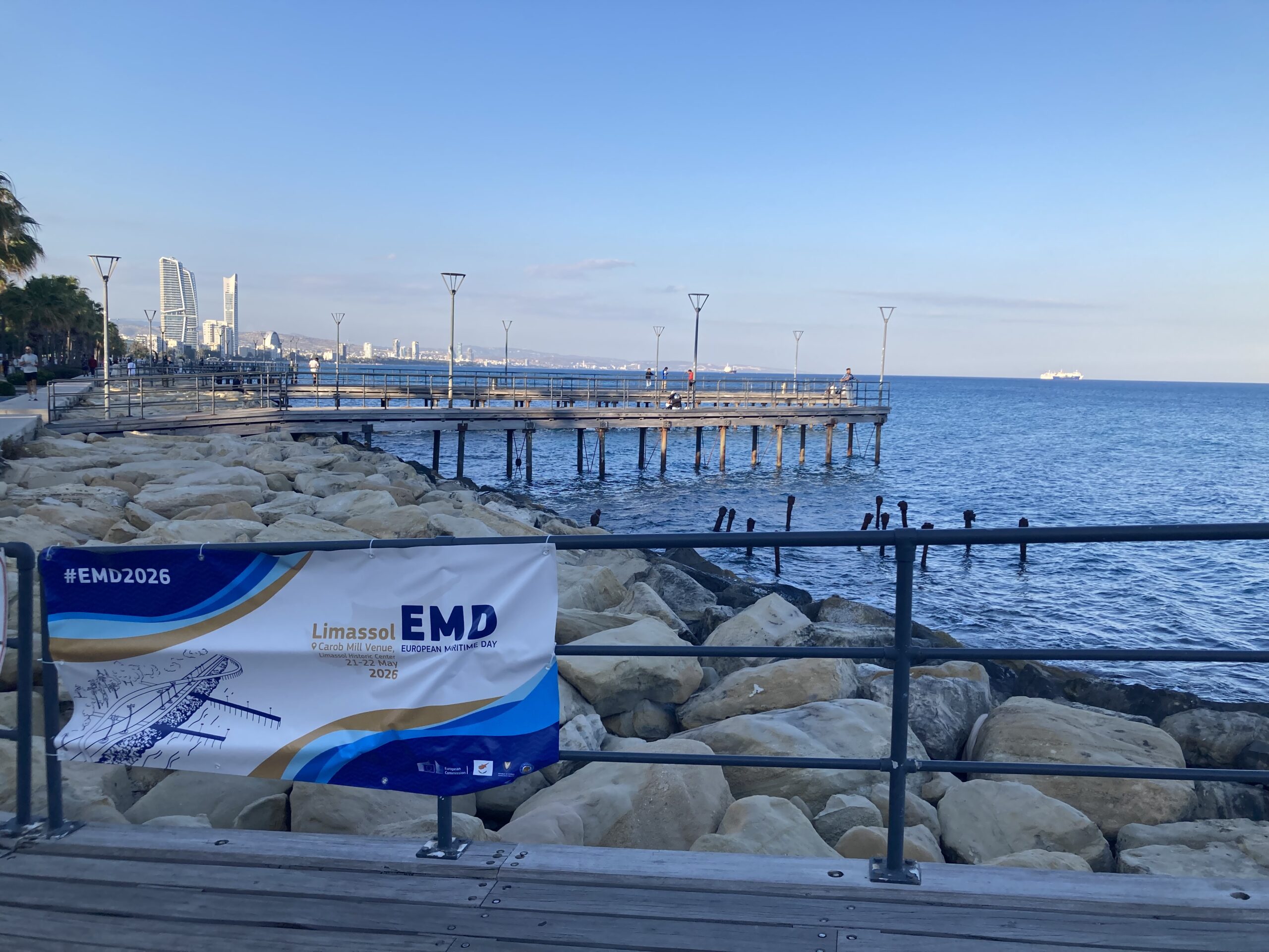
Make sure to mark your calendar for May 21-22, 2026, and head to the Carob Mill in Limassol’s Old Town (Cyprus).
The joint exhibition will be located within the main forum area, and access is open to all registered participants. For the most up‑to‑date information on registration, side events, and the full workshop programme, keep an eye on the European Maritime Day official website. The ocean, and the people who are working to protect it are waiting to meet you!